Scientists find evidence of two more tsunamis

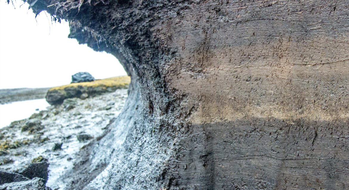
SCIENTISTS believe they have found evidence of two tsunamis which are thought to have hit Shetland 5,000 and 1,500 years ago.
The previously unknown events have been discovered researchers led by Dundee University’s Dr Sue Dawson and Professor Dave Tappin from the NERC British Geological Survey after studying sand in the isles.
Scientists already understand a 20-metre tsunami hit Shetland over 8,000 years ago following a landslide off the coast of Norway in what is called the Storegga Slide, with waves also striking Faroe, Iceland and Greenland.
But the two more recent tsunamis are fresh discoveries, with scientists now working to find out what caused them.
This could mean that tsunamis ocurred more commonly than previously thought in the UK.
“We found sands aged 5,000 and 1,500 years old at multiple locations in Shetland, and they were up to 13m above sea level,” Dawson said.
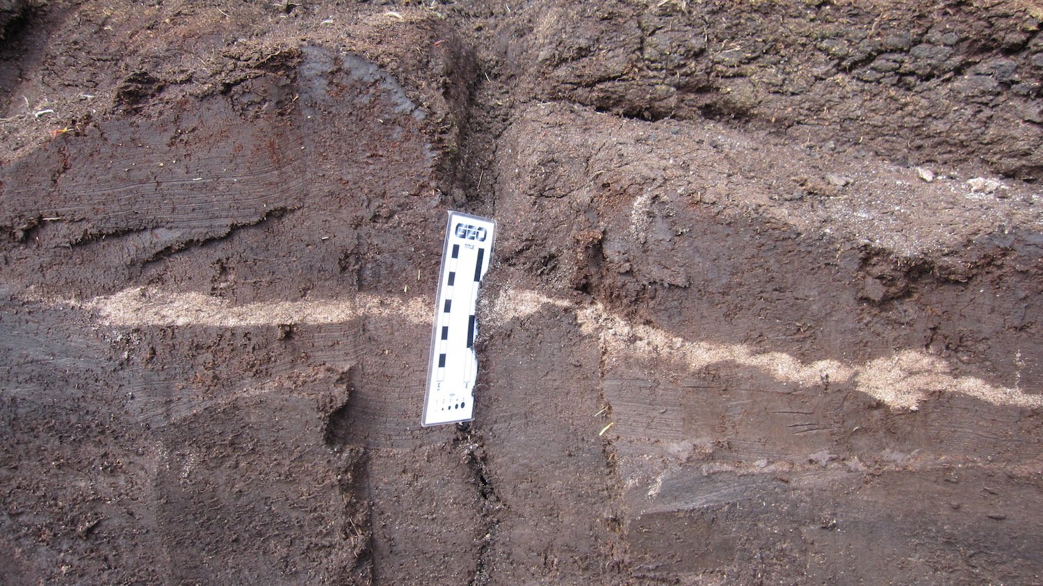
“For the first time, we’ll have a complete 3D view of the cores we’ve extracted from the ground and from lochs and seabeds.
“This detail will show us which direction the wave was travelling in and identify the elements present in the sand and much more.
“This will be the first time that such a level of detail has been captured from these prehistoric tsunami events.”
Basta Voe in Yell was one of the sites were tsunami deposits were found in the research, which was funded by the Natural Environment Research Council.
The deposits were found in the north and east coasts of Shetland, with none discovered on the west side or south end.
The research is part of the Landslide-Tsunami project, which aims to discover what causes large submarine landslides.
Tappin added: “The younger tsunami sands on Shetland are located quite close together, so we thought the submarine landslide may have originated quite close to the shore.
Help keep Shetland’s news open to everyone

Good local journalism takes time, care and people on the ground. Membership helps us keep reporting the stories that matter to Shetland — and keep them free for everyone to read. Members get a weekly newsletter created especially for them, local ads only, and can bookmark stories and join the conversation in the comments.
“Identifying landslides on and below the seabed using existing mapping methods is not as straightforward as might be imagined. We plan to test some theoretical models to see if we can reproduce the 1,500 and 5,000 year tsunamis.
“We will be creating a digital elevation model of the coasts of the Shetlands and the surrounding seabed. We will then reproduce the landslide movement that will generate the tsunami. The numerical model will flood the land and we’ll look at the elevation of the sediments to see if they match with what’s on Shetland. That will take us much closer to finding where the actual tsunamis began.”
Keep Shetland’s news open to everyone
Your membership helps us report the stories that matter to Shetland — and keep them free for everyone to read.