Cyclist heads north to start unusual map-themed challenge
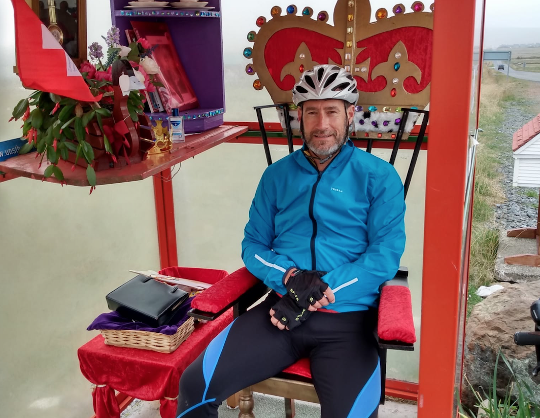
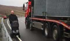
A CYCLIST has arrived in Shetland as part of an unusual challenge – to travel through all 204 Ordnance Survey (OS) map areas of Great Britain.
Mark Wedgwood, 54, from Hathersage in the Derbyshire Peak District, said the 7,000-mile adventure should take around six months.
It is going in numerical order, so the challenge has begun in Shetland on map one: Yell and Unst.
He will cover the rest of Shetland’s four map areas before heading down to Orkney on the ferry on Wednesday evening to bag OS maps five, six and seven.
The maps in question are the iconic pink Landranger 1:50,000 OS maps.
Mark – who said he has always been fascinated by maps – believes it is the first time someone has travelled across the country in this way.


He will travel through map areas in Scotland, England, Wales and the Isle of Man.
After Orkney his trip becomes a series of 26 coast to coast rides as he moves down the whole of Britain in horizontal west-to-east stripes.
The longest stripe is 13 maps wide, while the shortest – and final – stripe at the bottom of Cornwall spans just two maps.
“In Scotland, most stripes start on an island, with ferries to and from the Hebrides in particular causing an unusual and complicated logistical challenge,” Mark said.
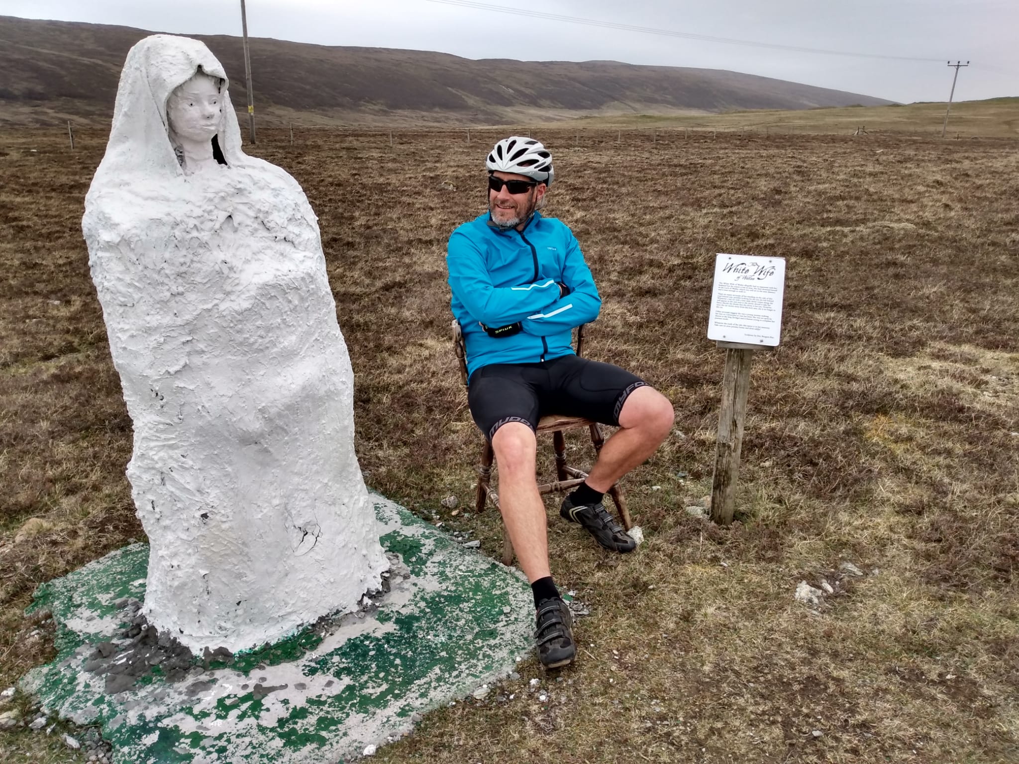
He added that a “quirk of the Shetland section is that OS map two is almost completely overlapped by maps one and three”.
The cyclist feels “duty bound” on his way south to make the side trip from Laxo to Whalsay, so he can run his wheels briefly to the east of Symbister, where the overlaps do not reach.
Mark conceived this trip when he found himself unexpectedly retiring a year ago, and was looking for a significant challenge that did not require overseas travel during the pandemic.
Become a member of Shetland News
He stumbled on this idea by accident when he found an old OS marketing freebie amongst his map collection.
Mark said it seemed like the “perfect staycation”, and a way to see the whole of Britain.
A highlight to come in May will be a trip to the remote St Kilda.
It can be found on map 18, at the start of his third coast to coast stripe.
“Like so often with Shetland, it is included in a box due to its distance from the British mainland,” Mark said.
“It will make even the very top of Unst feel like a busy place!”
People can follow Mark’s progress and see images of his travels on his blog and his Instagram page @ridealltheosmaps.
Become a member of Shetland News
Shetland News is asking its readers to consider paying for membership to get additional perks:
- Removal of third-party ads;
- Bookmark posts to read later;
- Exclusive curated weekly newsletter;
- Hide membership messages;
- Comments open for discussion.
If you appreciate what we do and feel strongly about impartial local journalism, then please become a member of Shetland News by either making a single payment, or setting up a monthly, quarterly or yearly subscription.